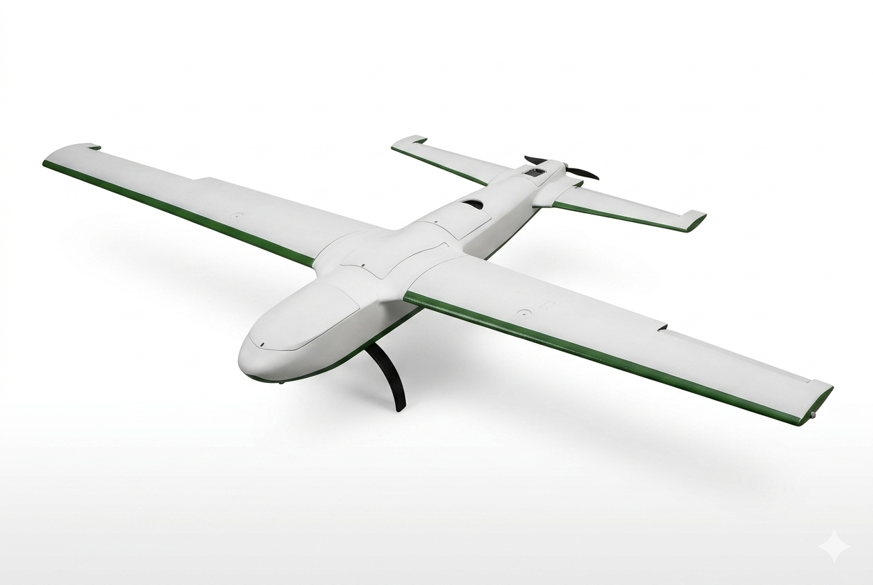
GTI-LRE
Rugged platform for detection and long-endurance surveillance.
- Vertical take-off and landing
- Flight time >=200 min
- Maximum payload capacity: 5 kg
- Wind resistance Level 6
- Cruise speed 110 km/h
- Autonomous flight
- C2 link >=60 km
Where technology meets nature to protect it. GTI turns satellite vision into your best tool against catastrophe, predicting and alerting before fire spreads. We don't just defend you; we give you the advantage.
GTI SATÉLITES monitors and analyzes hotspots and wildfires in real time, using AI to classify incidents, eliminate false positives and assess risk with high precision.
Using satellite data and artificial intelligence models, we anticipate high-risk areas and periods, making it possible to act before the fire happens.
We visualize fire spread in 3D in real time, along with the deployment of crews and equipment, integrating operational data to coordinate tactical actions clearly, quickly and effectively.
Real-time view of multiple points of interest through distributed cameras, with AI analysis to detect smoke plumes, fire and relevant events in critical areas.
Our artificial intelligence model detects anomalies and AI agents send automatic notifications through the established channels, with access to an automated firefighting report available for export both during and after the incident.
We offer every level of protection to help you protect what matters most.
Tactical planning, efficient monitoring and resource optimization on a single platform.
Location of water sources, helipads and ground support bases.
Drone flight routes built with optimized genetic algorithms.
Intelligent allocation based on real-time data.
We are in the prototype phase and evolving fast. Explore the models, open the specifications and see how they fit into your operation.
Rugged platform for detection and long-endurance surveillance.
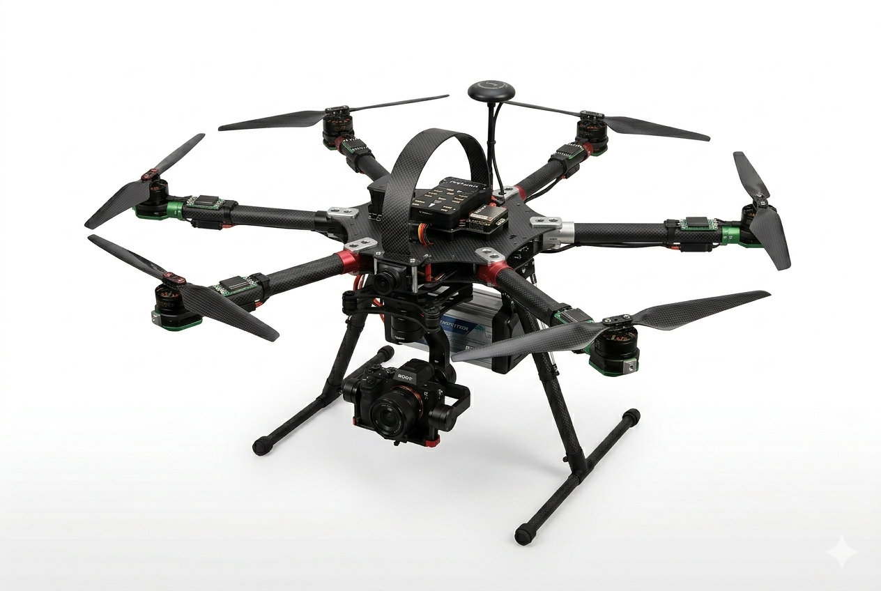
Multispectral cartography and high-precision 3D mapping.
Specifications subject to change during the prototyping phase.
We work alongside academic institutions, civil-society organizations and companies that drive innovation, environmental protection and technological development.

Tecnologico de Monterrey

Amigos de la sierra

UDLAP

XCIEN

Center for Industrial Innovation in AI (CIIIA)
A quick look at our track record: awards, events and milestones.
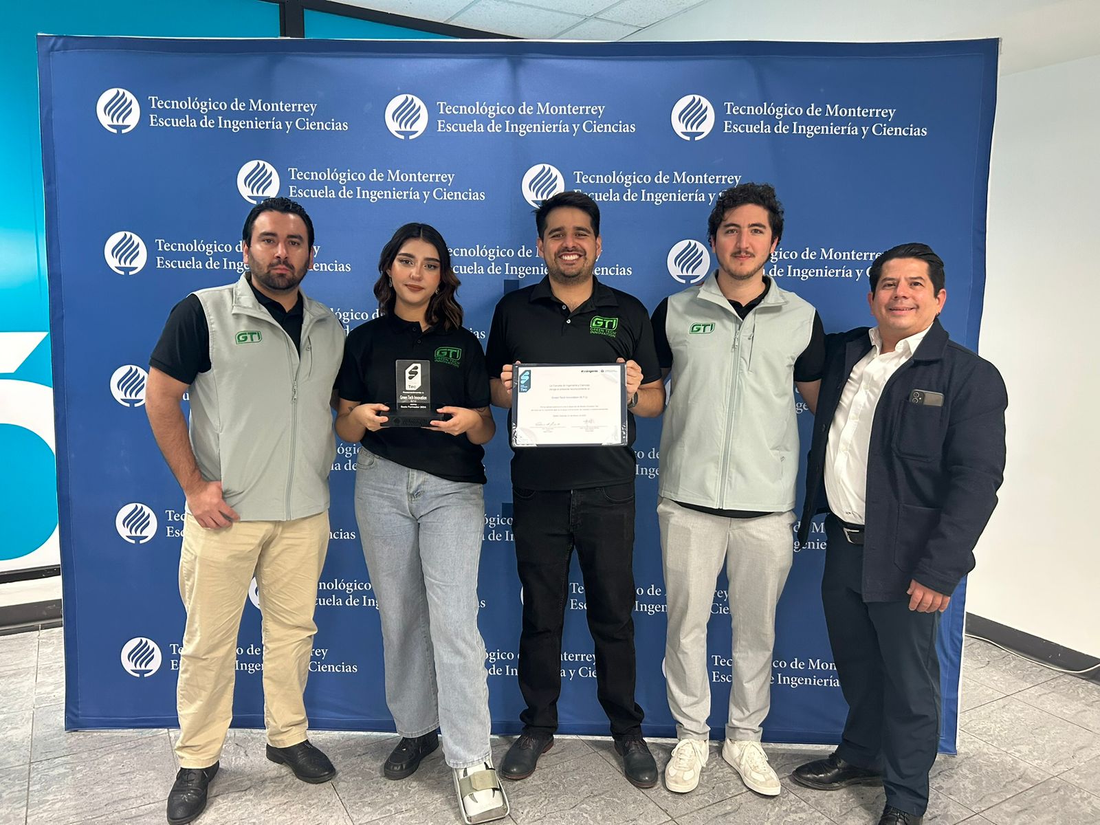
Recognition for outstanding performance as a leading training partner.
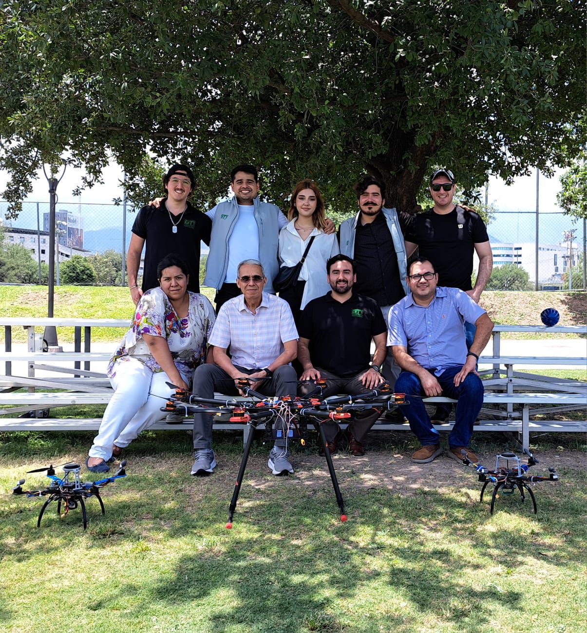
Tarot X8 prototype demonstration
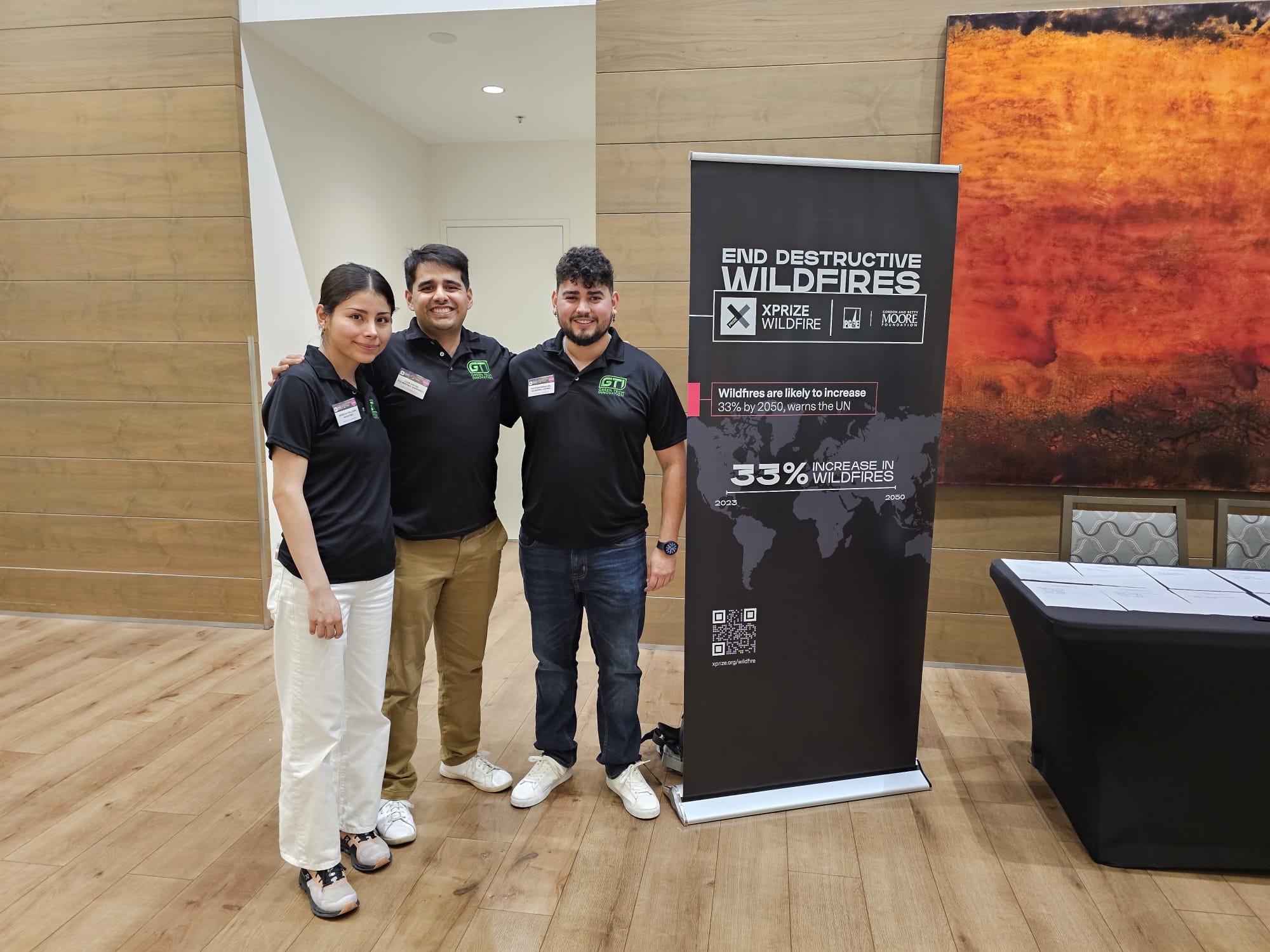
Out of more than 400 participating teams, we are among the top 28 in the world.
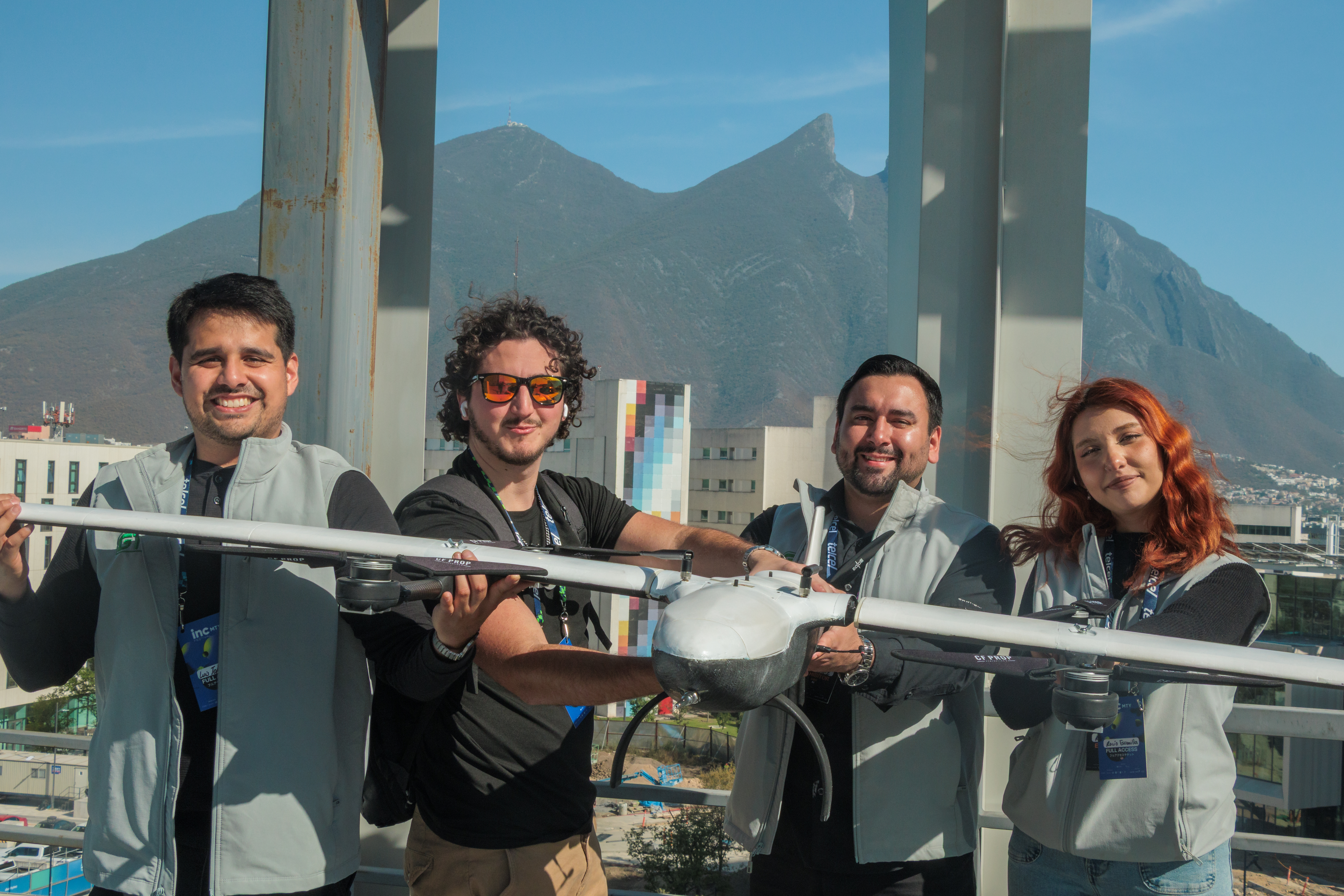
Exhibitors at the most important entrepreneurship event in Latin America
Three and a half years being part of the change.
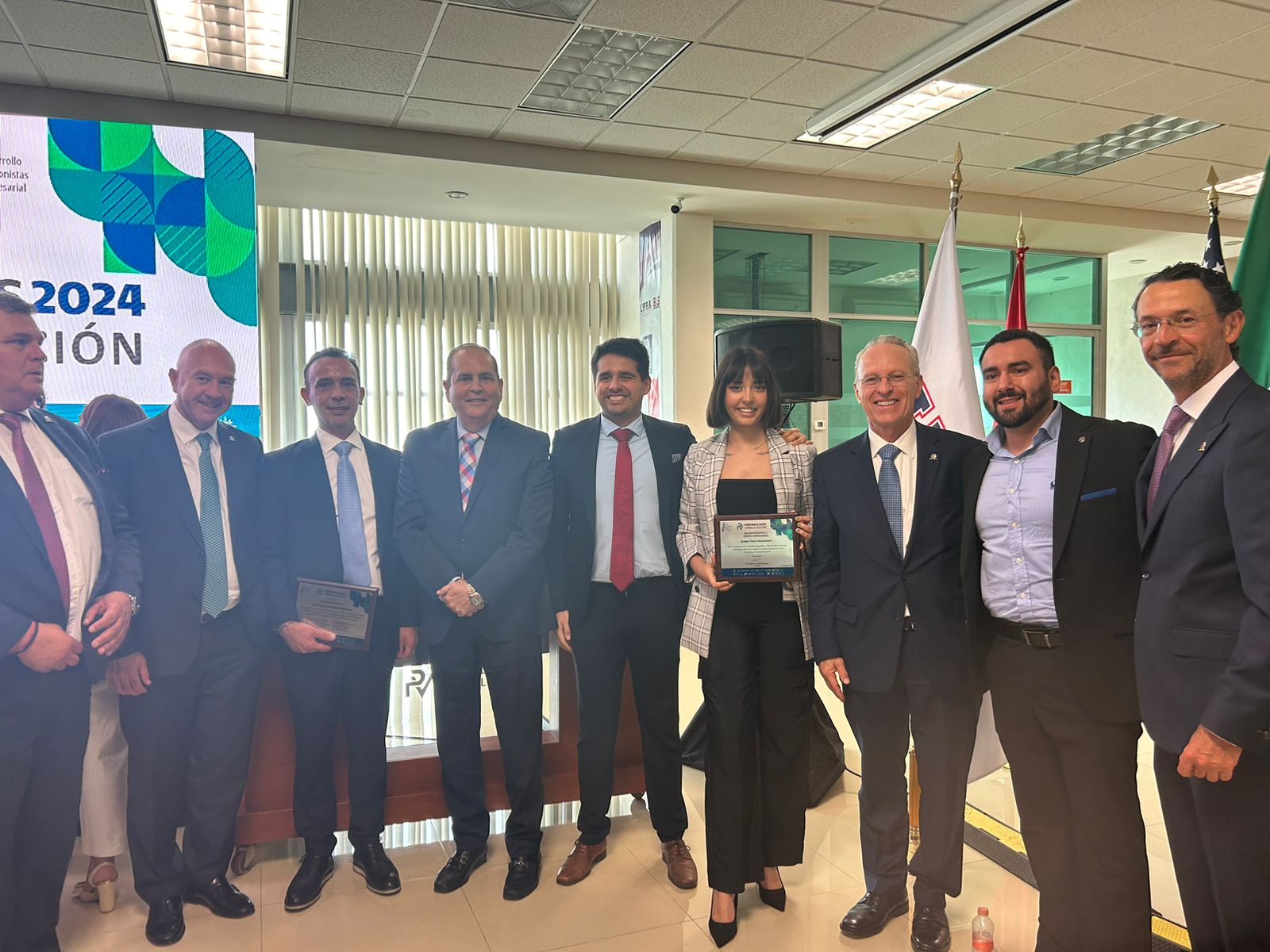
Award for the best university–small business partnership.
Data science, forest ecology and field operations: the talent that makes GTI possible.

CEO & Co-founder
Sustainable Development and Ecotourism student, focused on systems thinking, leadership and the analysis of social and environmental issues from an integrated perspective.

CTO & Co-founder
Electrical engineer. He leads the development of technologies for early wildfire detection through edge AI, autonomous drones and satellite data analysis.

COO & Co-Founder
Business Administration graduate specialized in process automation with artificial intelligence. Focused on turning complex operations into efficient, scalable, results-driven systems.

SW / AI Director & Partner
Chemist and nanotechnologist, a leader in applied technological innovation with experience in AI, data science and computer vision to tackle challenges such as wildfires.
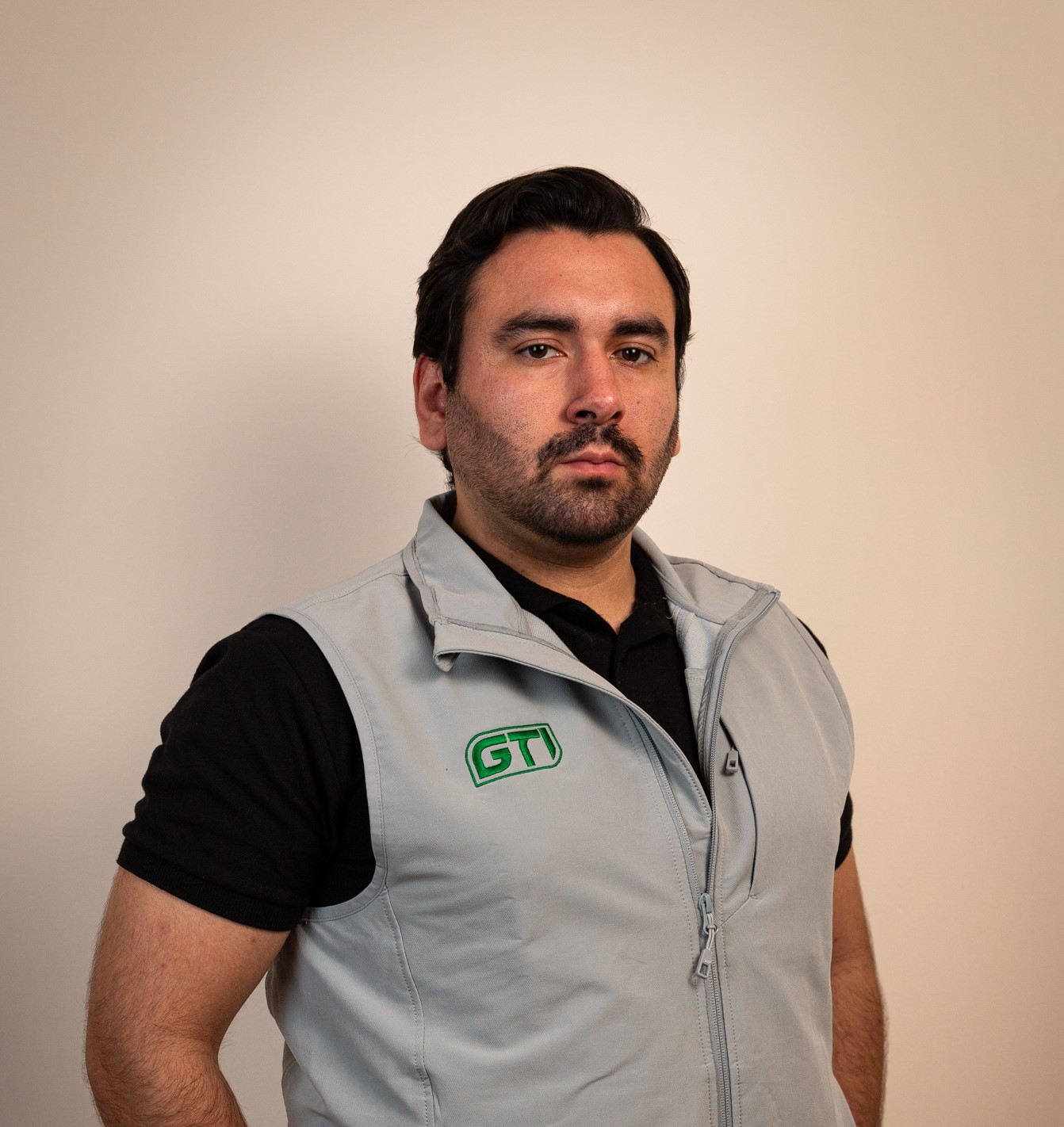
CLO & Partner
Law graduate from the Universidad Autónoma de Nuevo León, focused on the development of projects with social and environmental impact.

HW Director & Partner
Industrial physics engineer with a master's degree in science and a specialization in manufacturing. Focused on manufacturing systems and 3D printing of smart materials, with four years of work on the GTI project.
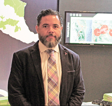
Mentor & Partner
Telecommunications engineer with more than 25 years of experience; partner and owner of XCIEN and a group of companies in the sector.

UAVs Director
Responsible for the full UAV cycle, from design to supply, developing advanced manufacturing and assembly.

Mechatronics Engineer
Responsible for UAV development, from design to flight testing, leading manufacturing, assembly and initial integration.

Mentor
More than 20 years leading transformation in technology and digital services worldwide; IPADE graduate with a degree in Computer Science.
Request a demo or get a quote for your custom solution today.